QGisRasterCatalogScreenshots
Dernière modification : 2008/03/30 14:13
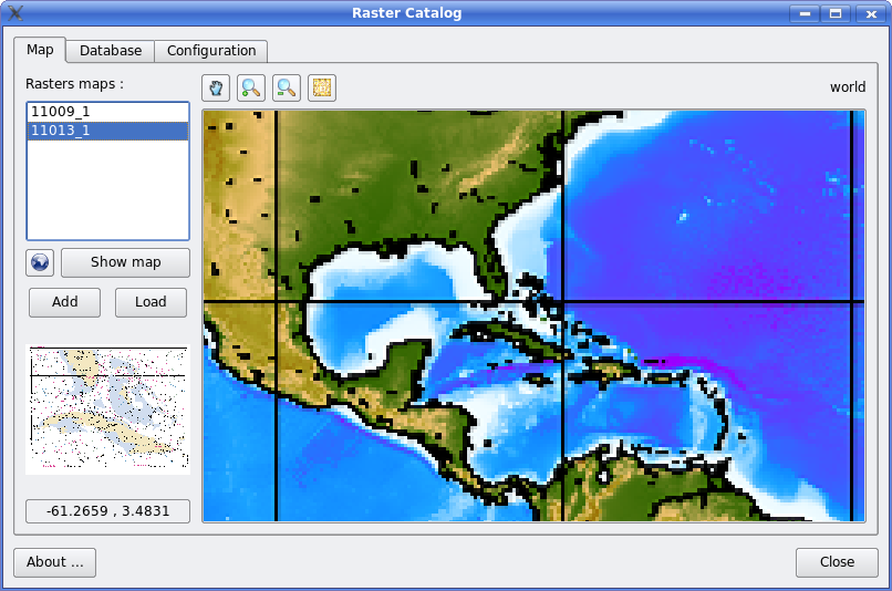
Display florida NOAA map
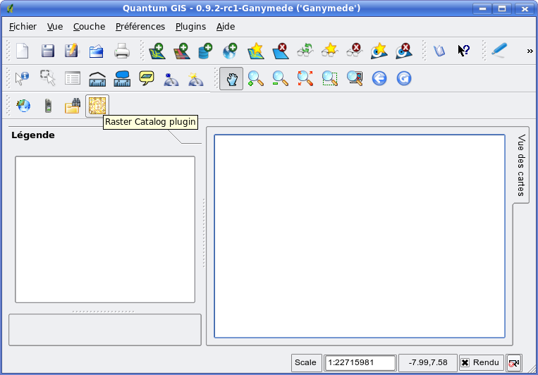
Start from QGis
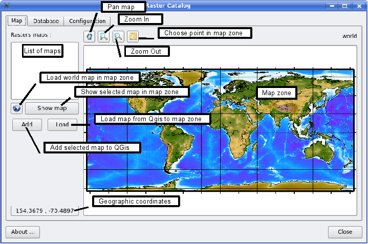
Map tab

with description of buttons:
Started as a standalone application

Database tab

Configuration tab

2025/06/19 20:19 -- 216.73.216.14
QGisRasterCatalogScreenshotsDernière modification : 2008/03/30 14:13 |
||
|---|---|---|
| Accueil / Changements récents | Éditer | |
Screenshots of the raster catalog QGis plugin or standalone apps.Display florida NOAA mapStart from QGisMap tabwith description of buttons: Started as a standalone application Database tabConfiguration tab |
||
|
Wiki utilisant WiKiss 0.3
2025/06/19 20:19 -- 216.73.216.14 |
Éditer | |